Helen F. M. Leary, CG (Emeritus), FASG, FNGS
This webinar discusses how to collect the data you need to find your ancestors anywhere that metes and bounds are used as land boundaries.
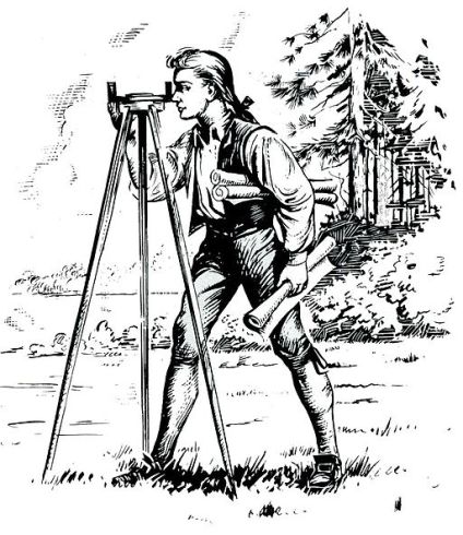
(Image source: “Young George Washington” from National Park Service, Public Domain, via Wikimedia)
Available in the NCGS online store is North Carolina Research – Genealogy and Local History, the text for the NCGS Webinar Series.
You must be signed in to your NCGS membership account to view this resource.